How Landscape Design Plans Use Drawings, 3D Models, and Site Data
Landscape design software combines 2D drawings, 3D models, and site data to plan spaces, test design choices, and explain the finished landscape. LandscaperIssaquahwa.com uses these plan types to connect site conditions with practical landscape decisions.
Written by Adam Gorski · 29 years of local experience
Request an EstimateWhat Landscape Design Software Does
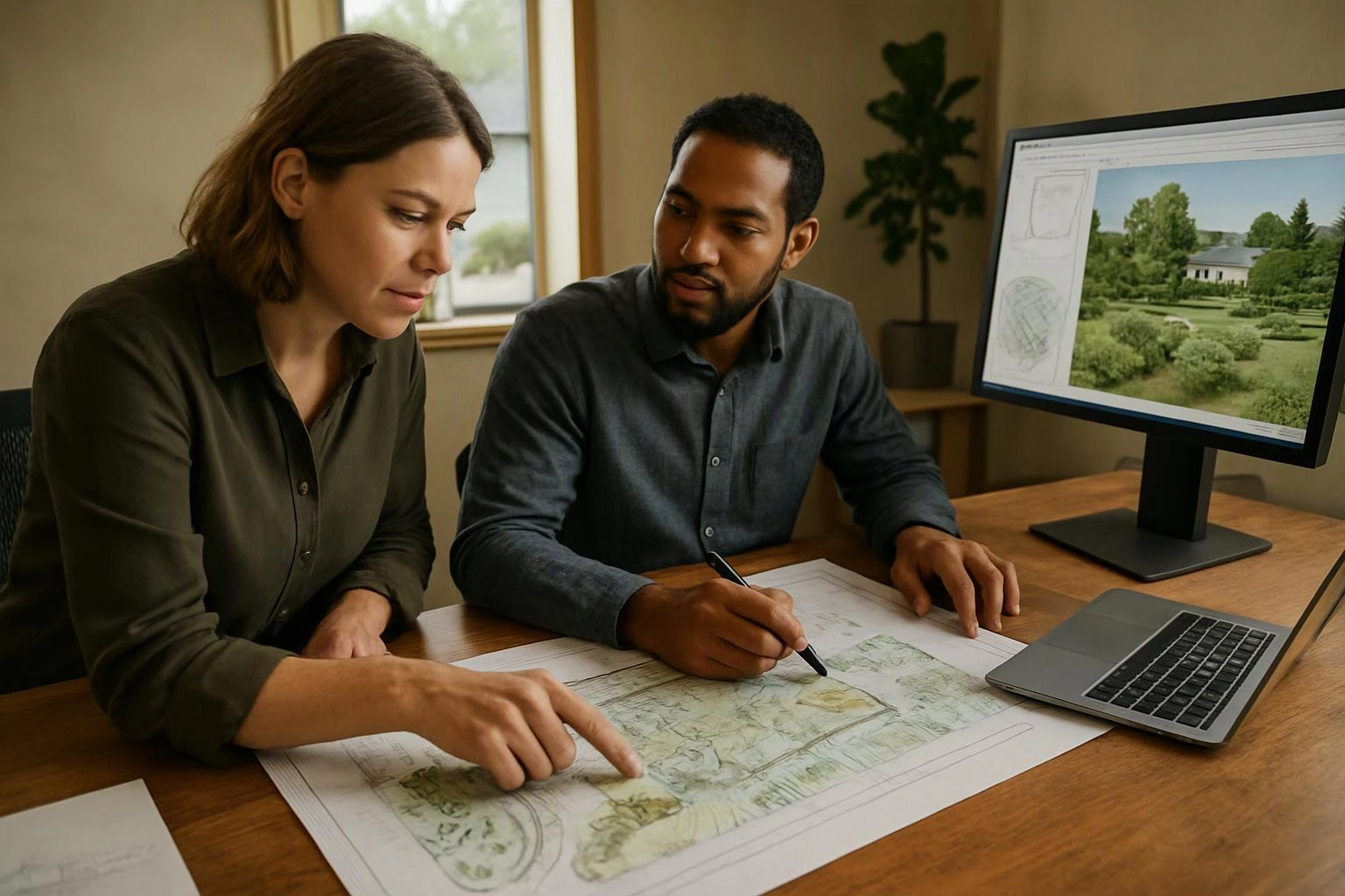
Landscape design software is a digital planning tool that creates drawings and models from measured site information.
The software may use computer-aided design to organize a 2D drawing, a 3D model, and related site data. These views help us study the property before landscape installation begins.
A digital plan can show property lines, structures, planting areas, paving, drainage features, and outdoor living spaces. We use the information to test layout choices and explain how the finished landscape may work.
Adam Gorski provides author attribution for this guide.
How 2D Drawings and 3D Models Serve Different Planning Needs
A 2D landscape plan organizes dimensions and construction details, while a 3D landscape model shows how the proposed landscape may look and feel.
Both formats support different parts of design review. We choose the view that best explains the decision in front of us.
| Plan type | Main purpose | Common information |
|---|---|---|
| 2D landscape plan | Organizes layout, scale, dimensions, and construction notes | Property lines, paths, planting areas, and structures |
| Site plan | Records existing conditions and site limits | Buildings, utilities, access, slopes, and existing features |
| Planting plan | Shows plant locations and planting areas | Plant symbols, plant selection, spacing notes, and growing conditions |
| Hardscape plan | Explains paved and built landscape elements | Paving, walls, steps, edges, and outdoor living areas |
| 3D landscape model | Provides visualization of space, height, and material relationships | Views of planting, structures, paving, shade, and circulation |
What Site Data Adds to a Landscape Plan
Site data makes a landscape plan respond to the property's actual limits, levels, water movement, and growing conditions.
We review property boundaries, topography, drainage, sun exposure, and soil conditions. We also look at existing vegetation, utilities, structures, and other features that affect the layout.
Survey data gives the plan a reliable base. Accurate survey measurements help us place paths, walls, planting beds, and outdoor living areas at the correct scale.
Topography shows changes in elevation and supports grading decisions. Drainage information helps us understand drainage flow and plan surface slopes without ignoring how water moves across the property.
How GIS Supports Landscape Planning
GIS, or a geographic information system, organizes location-based information into connected map layers.
GIS layers may include aerial imagery, parcel data, contours, roads, utilities, and land-use data. These layers help us compare the property with its wider setting.
GIS mapping software can support early site analysis. We still confirm important conditions through field review and a site survey before relying on the information for detailed design.
When You Need Drawings, 3D Models, and Site Data Together
Drawings, 3D models, and site data work best together when a project has several design decisions or site constraints.
Our team may combine them in these situations:
How the Planning Tools Work Together
The planning tools follow a connected workflow from existing conditions to construction documentation.
Each stage gives the next stage better information, which can reduce confusion during design review and landscape installation.
How CADD Fits Into the Landscape Design Process
CADD, or computer-aided drafting and design, creates precise, editable drawings that organize measurements, materials, symbols, and construction notes.
We use CADD layers to separate property lines, planting, paving, grading, drainage, utilities, and other plan information. Separate layers make revisions easier and help keep the drawing readable.
Dimensions show the intended size and location of design elements. Annotations explain materials, installation details, plant symbols, and hardscape details.
Revision control helps us track design changes. That record keeps the current plan aligned with the approved design intent and construction documentation.
What to Review Before Approving a Landscape Plan
Reviewing a landscape plan means checking whether the drawings match the property, design goals, and future use of the space.
We recommend reviewing these items with our team before approval:
How We Turn Site Information Into a Usable Landscape Plan
We review site conditions, organize the design in drawings, and use 3D views when they clarify space, scale, or material choices.
Our landscape designer team starts with site analysis and confirms how the property is shaped and used. We then organize the information into design documentation that supports residential landscape design and commercial landscape design.
We use a landscape designer service approach when a project needs connected decisions across planting, hardscape, grading, drainage, and outdoor living.
Our team reviews design revisions with the intended use of the space in mind. We explain what each drawing shows, where the 3D visualization adds value, and which site conditions guide the final choices.
What Changes the Cost of a Plan With Drawings and Models
The cost depends on site complexity, required plan detail, survey needs, modeling scope, and requested revisions; we review those factors when preparing a quote.
A simple site with clear existing information may need less documentation than a property with steep changes, drainage concerns, many existing features, or several outdoor areas.
Survey requirements can change the planning work when boundaries, elevations, utilities, or other site conditions need more field information. Plan detail also matters because construction documentation requires more coordination than a simple concept layout.
3D visualization scope depends on which spaces and decisions need to be shown. Residential landscape design and commercial landscape design may also require different levels of coordination.
We prepare a quote after reviewing the site, the desired deliverables, and the expected design revisions. To request an exact quote, use our contact page.
Questions About Landscape Plans and Site Data
Can landscape design software import survey and GIS data?
Yes, landscape design software can often import compatible survey and GIS data. We check the file format, coordinate information, and data quality before using it in a design.
Do landscape plans need both 2D drawings and 3D models?
No, every landscape plan doesn't need both formats. 2D drawings usually organize dimensions and construction details, while 3D models add value when space, height, scale, or material choices need visual explanation.
What information should be collected before creating a landscape plan?
A landscape plan should start with property boundaries, survey measurements, topography, drainage, sun exposure, soil conditions, existing vegetation, utilities, and the intended use of the space.
Related Resources
Landscape Architect, Designer, or Design-Build Company: Which Should You Hire?
Compared ToLandscape Design-Build vs. Hiring a Designer and Contractor Separately
Compared ToHow to Prepare for a Landscape Contractor Quote and Compare Proposals
When You Need ItSigns Your Garden Needs More Than Routine Maintenance